| Below you'll find some SpeleoBase screenprints.
I've made them on a PC with Windows XP and "Visual Themes"
enabled, and color scheme "Silver". Pretty cool, isn't
it? You can run SpeleoBase in ENGLISH or FRENCH.
The images below have been made in the French
version.
|
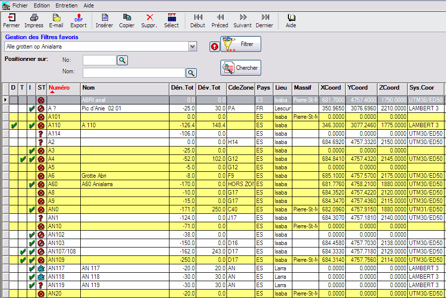
Cave Table: this is where
you see all your caves. You can filter, search, order on
many criteria. Caves that are considered as being
"exploration finished" are shown in yellow. Confidential
caves are shown in red. The real screen shows more
than 20 different columns that you can order just as you
like.
|
|
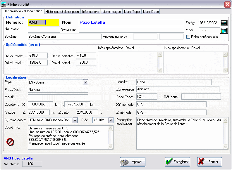
Detail of a cave (page
1 of 6): a cave "record" counts over 50 different
fields with information, distributed over 6 tab-pages. Here
you see the first page, with the name, localisation and
cave metrics.
|
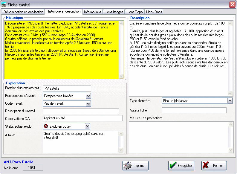
| Detail of a cave (page
2 of 6): this is the page with the cave
description, history etc..
|
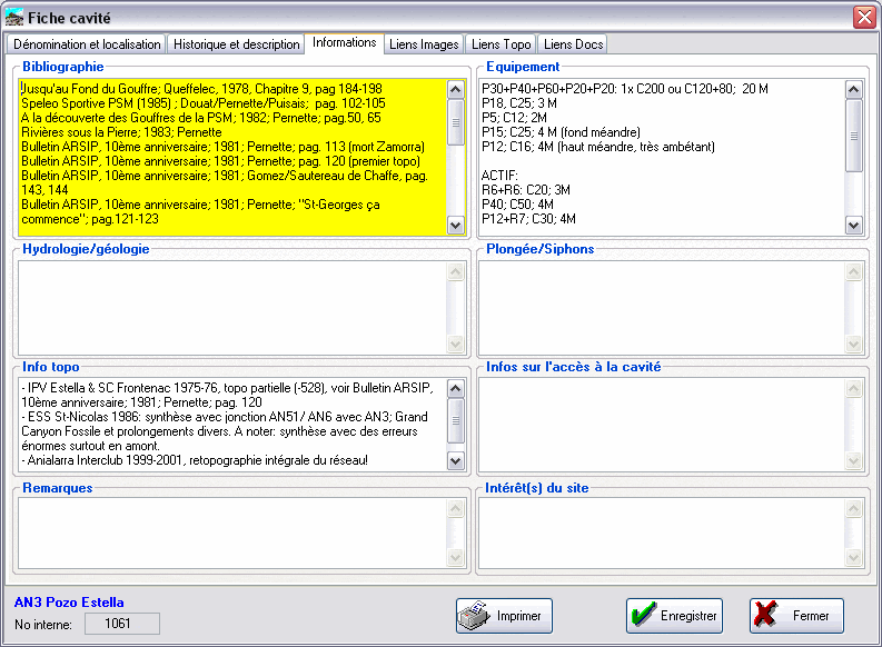
| Detail of a cave (page
3 of 6): the third page with all kinds of other
information.
|
|
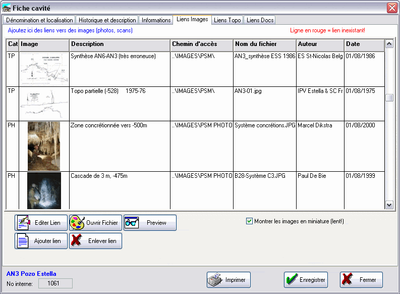
Image links page: links
to all images on your PC that are related to the cave. There
are similar pages for links to survey files or other documents.
|
|
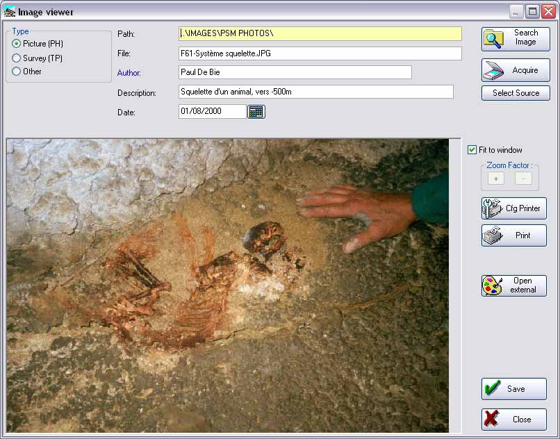
Image link Detail:
here you create or change "image links".
|
|
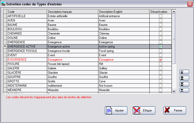
Maintenance: you can create
all kinds of codes such as : types of entrances, countries,
coordinate systems etc. For each type there is a special
maintenance program.
|
|
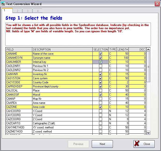
Text Conversion Wizard: a
powerful tool that allows you to transfer simple delimited
textfiles, made in other applications (e.g. Excel or Access),
to SpeleoBase.
|
|
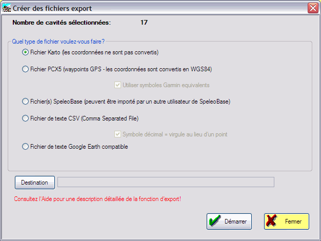
Export : you can export
your caves in order to exchange them with other users. Or
you can create a "waypoint" file that you can load into
your GPS.
|
|
Printing: SpeleoBase allows
you to print:
- listings with caves:
click here for an
example (PDF-format!)
- detail pages per cave:
click here for an
example (PDF-format!)
These prints can be made in English or in French!
|
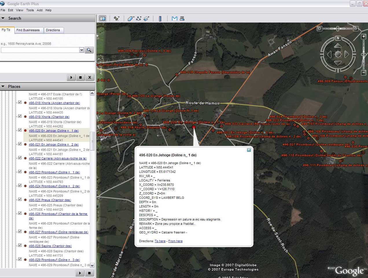
| But SpeleoBase can do a lot more... so why
don't you just try it?
- Export to Google Earth Plus:
click here for an example (JPG)
|


