The Old DOS-based survey converter has been removed. A new version
has been developed under Windows.
Please read the manual before using the tool, otherwise you
might be disappointed... converting survey files from one format
into another is something that needs some explanation and
preparation. And remember input = output. You put a bad survey
in, you'll get a bad survey out.
It is based around a special but simple plain text format that I
have been using for many years now, to manage surveys of quite
big and complex cave systems. I called it the "Avalon Text
Format". You are not obliged to use this format (though I
recommend it; see the manual for my arguments) but the converter
will use it as an intermediate format anyhow.
New in this version is the possibility to read Toporobot TAB
files. It is one of the few converters that can handle such
files, and possibly the first "bridge" to go from Toporobot to
Compass. It might open new worlds for some people who have such
files.
I had to work with some Toporobot files I received from friends
of mine. The file format was poorly documented which meant some
guessing and trial-and-error work. I hope I got everything
covered...but I have to admit that I'm not even sure if it will
convert everything. Has the fileformat changed recently? Latest
Toporobot version is 9.1.7 and I don't even know if the files
I've got are version 8 or 9. Well give me some feedback, if it
doesn't work! Example given: I just found out about "Topofil"
lengths, I haven't covered this yet so it won't work.
What conversions are supported now:
Compass DAT -> Avalon TXT
Toporobot TAB -> Avalon TXT
Visual Topo TRO -> Avalon TXT
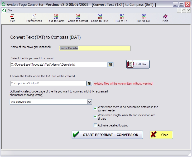
Avalon TXT -> Compass DAT
Compass DAT -> Onstation CDI (Old stuff, I know, but still fun
to play with)
Once you have your data in Compass DAT, you can easily go to
other formats because a lot of other cave surveying programs can
read/import native DAT files.
If you come across bugs or errors, please let me know.
DOWNLOAD:
This tool will translate one surveyformat to another. Supported formats
are Onstation, Compass, Survex, Winkarst, Walls etc...
So if you have Survexfiles, you can also use this tool instead of the
Avalon-convertor. With this difference that the Avalon one support
some (non-native Survex) possibilities such as passage dimensions, shot
flags or survey sections. topoformaten vertalen!
Rosettastal was written originally by Taco Van Ieperen (author of
Onstation), then abandoned. Gary Petrie (author of Winkarst) continued
the work and made it into a real working program. Download the tool
here: